
A New Tool Lets You Check Crime Stats for Any UK Neighbourhood — Here's What We Found
CrimeRadar maps crime data for every UK neighbourhood using official police records
A recently launched website is giving UK residents free, instant access to three years of official crime data for any neighbourhood in England, Wales, and Northern Ireland — all sourced directly from police.uk. We took it for a spin.
Why Is Neighbourhood Crime Data So Hard to Access?
Finding out how safe a neighbourhood is has historically been a frustrating exercise. The official data.police.uk portal publishes crime records for every policing area in England, Wales and Northern Ireland — but raw CSV downloads and API calls are not exactly accessible to the average person looking to move house or understand local crime patterns.
Estate agents talk in vague terms. Local forums are anecdotal. And government tools bury the numbers behind filters and jargon. There has long been a gap between the data that exists and the format that's actually usable.
What Is CrimeRadar?
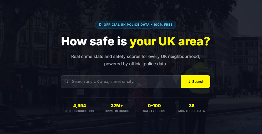
CrimeRadar.co.uk is a UK-focused crime statistics platform launched in March 2026. It aggregates 36 months of official police data and presents it through an interactive map and per-neighbourhood pages — no account required, no subscription, no paywall.
The site covers all 44 territorial police forces across England, Wales, and Northern Ireland, broken down to the individual neighbourhood level — the same neighbourhood boundaries that local forces publish and patrol.
Safety Scores, Not Just Raw Numbers
Each neighbourhood gets a safety score from 0 to 100, calculated from crime volume, trend direction over recent months, and crime outcome rates (arrests, charges, and no-further-action outcomes). Rather than leaving you to interpret raw totals, CrimeRadar converts the data into a clear five-band rating:
What You Can Actually Do With It
Interactive Crime Map
The interactive crime map is the standout feature. It displays colour-coded neighbourhood polygons across the entire country. Click any zone and an info panel slides in with the safety score, crime totals for the last 12 months, trend direction, and a link through to the full breakdown. Clean, fast, and responsive on mobile.
Safest Neighbourhoods & Cities
The Safest Neighbourhoods page ranks the top-rated areas across the country by safety score — genuinely useful for people comparing a shortlist of areas when relocating. There's also a Safest Cities view that aggregates scores at the force and city level.
Compare Any Two Areas
The Compare Areas tool puts two neighbourhoods side by side — scores, crime categories, and trend direction in a single view. Particularly useful for buyers or renters weighing up two properties in different parts of the same city.
Monthly Snapshots Going Back 3 Years
Each neighbourhood also has individual monthly pages going back up to 36 months. This means you can look at what crime looked like during a specific period — not just a rolling average — which is useful for spotting seasonal patterns or identifying whether a spike was temporary or structural.
What the Data Doesn't Tell You
Police-recorded crime data counts reported and recorded offences — not all crime. Areas with more active policing or higher reporting rates may appear worse than areas where crime is underreported. This is a known limitation of the underlying dataset, not a flaw in CrimeRadar specifically.
The safety scores are a simplification by design — no single number fully captures the feel or safety of a place. But the underlying monthly breakdowns by crime type give enough depth for serious research, and the site's FAQ sections address the methodology directly.
Verdict
For anyone researching a neighbourhood in England or Wales — whether for a house move, a rental decision, or general curiosity — CrimeRadar is one of the most accessible free tools currently available. It doesn't require a login, doesn't push paid upgrades, and presents official data in a format that actually makes sense.
The interactive map alone makes it worth bookmarking. Three years of monthly data per neighbourhood is more historical depth than anything comparable in the free space.
Data is sourced from data.police.uk under the Open Government Licence v3.0. Safety scores are calculated by the CrimeRadar platform and are not official police ratings.
Check the crime statistics for any UK neighbourhood — free, no account required.
Open CrimeRadar